Plantation Monitoring
Satellite remote sensing services for mapping farm forestry plantations in selected districts of Odisha & Andhra Pradesh
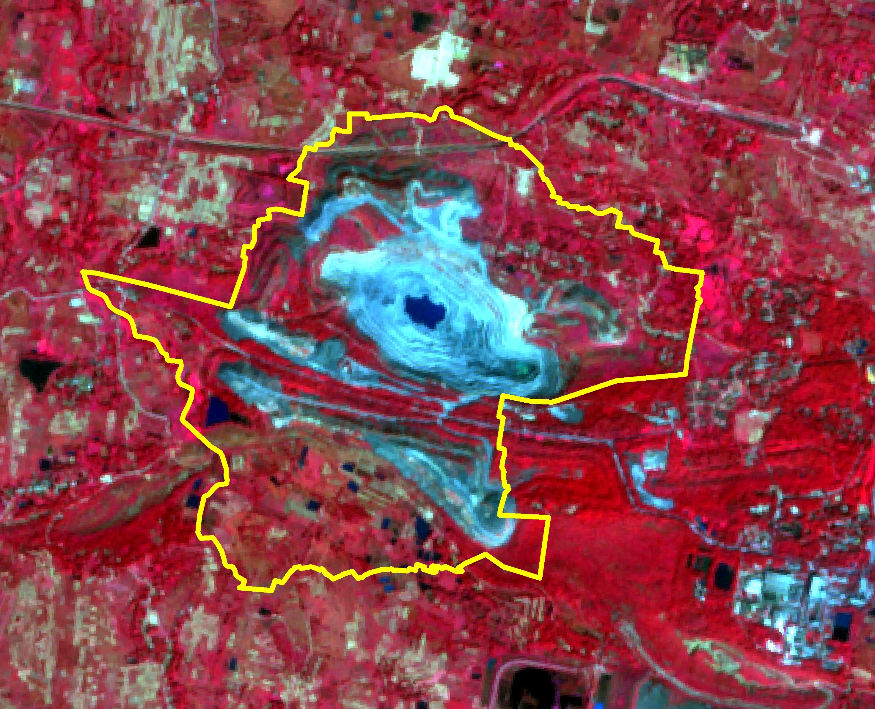
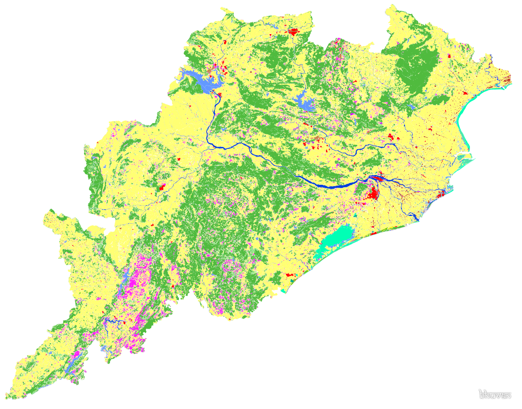
This study uses high-resolution satellite imagery and geospatial analytics to delineate, classify, and monitor farm forestry plantations in Odisha and Andhra Pradesh. It integrates Sentinel-2A, LISS-IV, NDVI, and DEM data to assess species composition, biomass, and carbon stock for sustainable agroforestry management.
Read more →